


Read the original story on WHRO's website.
Scientists and academics in Hampton Roads have long worked to build computer models to predict the extent of future flooding.
But a new project at Old Dominion University hopes to go one step further, building a cutting-edge “digital twin” of the region that officials can use to test different scenarios.
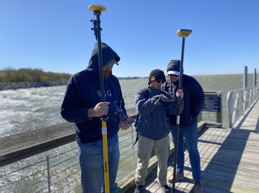
NASA granted the university $1.2 million for the effort. The team is gathering real-time data to feed into the system from local flood sensors, drones and satellite imagery.
George McLeod, director of geospatial and visual systems at ODU, said traditional computer models can only go so far. They're usually designed to look at a specific issue, such as how flooding impacts roads.
A digital twin, on the other hand, is designed as a more holistic representation.
The “concept is to build something more comprehensive that answers a multitude of questions and potentially with different items that interact with each other,” McLeod said. “There might be other systems and infrastructure, etc., that not only interact with flooding but interact with each other and that we can represent together. … It’s ripe for experimentation.”
The end result will represent the region’s physical and social infrastructure — independent of political boundaries. Researchers can then see what happens when they fiddle with various aspects: a new floodwall here, a new hospital or fire station there.
“It would be sort of like a time machine,” said Tom Allen, a geography professor and one of the grant leads. “Like, ‘OK, the year is 2050. Hurricane Sergio is approaching. It’s the sixth storm of the year’ or whatever.”
The team has installed about a dozen flood sensors around Hampton Roads, including in the Elizabeth and Lafayette rivers.
Allen said they’re prioritizing disadvantaged communities where there hasn’t been as much study.
“If they don't have flood sensors or people reporting, they can be kind of blinded to knowing what's happening,” he said. “So by having some extra flood sensors targeting those gaps, we can help them improve on their forecasting.”
The grant team also hopes to tap into a network of about a hundred existing flood sensors in the region that are owned by different entities, like city governments or the National Weather Service.
Eventually, they aim to make their work public, so officials — especially those without their own modeling capabilities — can refer to the digital twin when making decisions.
“We’re not promising, ‘Here's your new tool to solve this,’” Allen said. “But it’s sort of an envisioning thing. That's more information than they're used to having.”