Richmond’s equitable transit and mobility office, which is part of the Department of Public Works, recently released a district-wide map of the city's most pressing transportation needs with input from residents.
Rather than using the nine city council districts, Richmond Connects highlights transportation priorities across 17 carved-out sections of the city. Mobility Program Manager Kelli Rowan said each section contains a wealth of details.
“We've done these three-page summaries for the whole city,” said Rowan. “We've broken the city down [into] 17 kind of smaller areas that are, you know, a few neighborhoods together, acknowledging that most people are looking at the whole city. And then it highlights the transit, walking and biking needs in that sub-area.”
The office gathered data on issues such as traffic accidents, fatalities and calls to 311, as well as from public input. Dironna Moore-Clarke, administrator for the office of equitable transit and mobility, said the process was done through the context of equity.
“We strategically wanted to make sure that everybody could agree with the way that we were going to look at transportation with an equitable lens and with equitable outcomes,” said Moore-Clarke.
Officials gathered the information by speaking with residents about their concerns and looking into how history affects neighborhoods today. Issues the office looked at included redlining — the practice of banks denying mortgages to residents of historically Black neighborhoods — and when Interstate 95 cut through neighborhoods, such as Jackson Ward.
“So, what type of people are living in this area? What were the past land-use and transportation and injustices?” Rowan said.
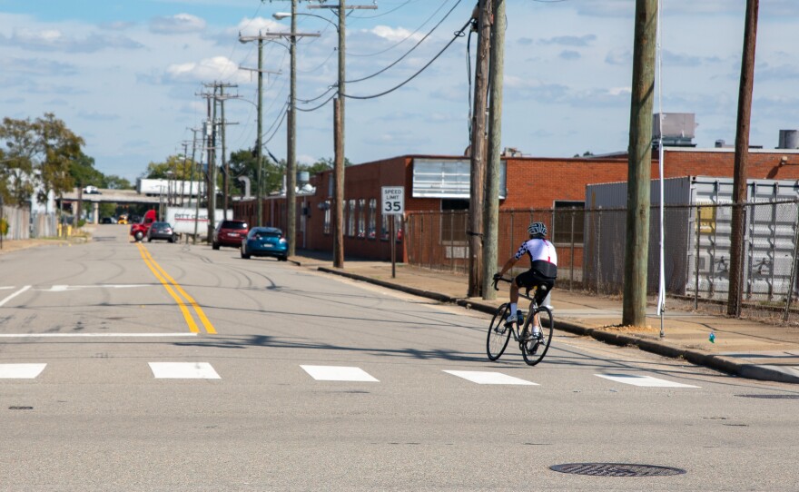
The report covers some of that context before detailing the top current needs for pedestrians, cyclists and transit riders — like repairing or building sidewalks and ensuring adequate bus stops.
As an example, the summary cites the Fairfield region in the city’s East End as a “Community of Concern,” because it includes Black, Indigenous and people of color renters, low-income households, and at-risk youth. Parts of the area were once redlined, and the homeownership rate remains low today.
It can be difficult for residents to get around the neighborhood, according to the report, because access to transit is spotty, and bicycle and walking paths aren’t direct or feel unsafe. Residents mentioned that Mechanicsville Turnpike feels unsafe to cross, speeding is common on Coalter Street and sidewalks are broken throughout the area.
They also pointed to safety issues for cyclists and pedestrians in front of Martin Luther King Jr. Middle School. Additionally, the summary notes that the area is vulnerable to high heat and has some flood risk.
“We're saying, how do we address that? How do we fix those problems that have been identified — both through our data driven process, and then through very in-depth outreach that has really been targeted to these communities of opportunity that we have not traditionally had participate in planning processes,” Rowan said. “Our focus has really been on talking to people who we haven't talked to as much in the past.”
The Richmond Connects website states: “Past transportation decisions have created injustices that have harmed people of color, low-income communities, and other marginalized groups of people. These injustices and the burdens they place persist today.”
The next step is to create an action plan to address what can be fixed quickly — versus what could take years to complete.
“We could do all of these projects, and it would take 200 years,” said Rowan. “We have to figure out which of those are the priority, and which of those are the priority that would achieve these equitable outcomes that we have articulated.”
Rowan said they’re amid that process now. Once it’s done, city officials will do more community outreach sometime in July.
“We have to get meaningful input and ask the public, which of these would you do first? We think people are experts in their neighborhoods,” said Rowan.
After those suggestions are collected, final recommendations will head to City Council sometime this fall.